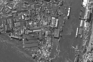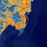
Maxar Intelligence on Wednesday announced a new solution suite that applies artificial intelligence-enabled analytics to geospatial imagery for persistent global monitoring of fixed sites and vessels on the open sea to provide customers with predictive intelligence and improve the efficiency of, and outcomes for, analysts. The company is already bringing its Sentry solution to bear for the National Geospatial-Intelligence Agency (NGA) under the Luno program that purchases commercial data analytics to improve monitoring of global economic, environmental, and military activity.…

 By
By 


